
|
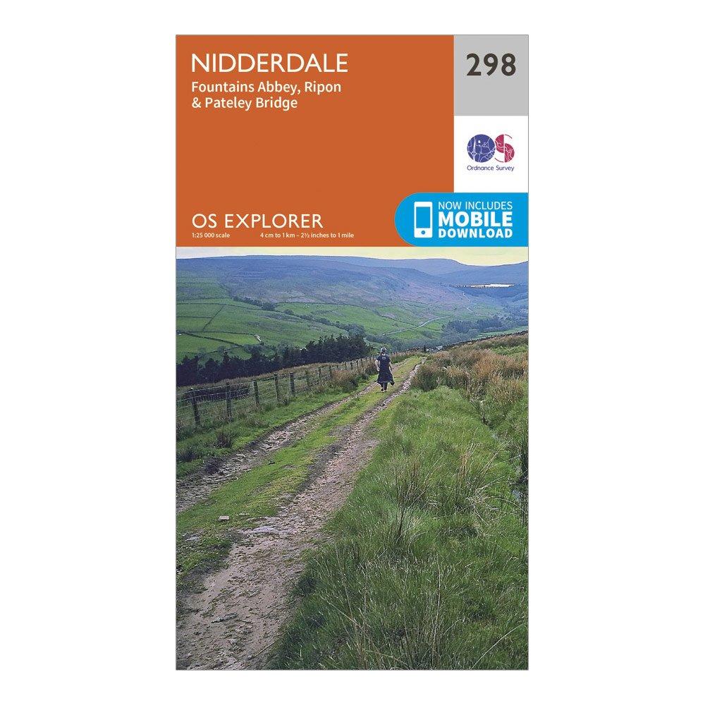
Ordnance Survey Explorer Active 298 Nidderdale Map With Digital Version - Orange/d Orange/d
Ordnance Survey
Review this product
|
£9.60
|
Visit Store |
|
Ordnance Survey Explorer 298 Nidderdale Map With Digital Version
Ordnance Survey
Review this product
|
£6.00
|
Visit Store |
|
Ordnance Survey Nidderdale - Os Explorer 298 Map
Ordnance Survey
Review this product
|
£9.99
|
Visit Store |
|
Ordnance Survey Explorer Active 442 AssyntandLochinver Map With Digital Version Orange
Ordnance Survey
Review this product
|
£9.60
|
Visit Store |
|
Ordnance Survey Explorer Active 166 RhonddaandMerthyr Tydfil Map With Digital Version Orange
Ordnance Survey
Review this product
|
£9.60
|
Visit Store |
|
Map Of Nidderdale
Entertainment > BooksandSubscriptions > Books
Ordnance Survey
Review this product
|
£9.99
|
Visit Store |
|
Ordnance Survey Explorer Active 297 Lower WharfedaleandWashburn Valley Map With Digital Version Orange
Ordnance Survey
Review this product
|
£9.60
|
Visit Store |
|
Ordnance Survey Explorer Active 297 Lower WharfedaleandWashburn Valley Map With Digital Version - Orange/d Orange/d
Ordnance Survey
Review this product
|
£9.60
|
Visit Store |
|
Ordnance Survey Explorer Active 442 AssyntandLochinver Map With Digital Version - Orange/d Orange/d
Ordnance Survey
Review this product
|
£9.60
|
Visit Store |
|
Ordnance Survey Explorer Active 166 RhonddaandMerthyr Tydfil Map With Digital Version - Orange/d Orange/d
Ordnance Survey
Review this product
|
£9.60
|
Visit Store |
|
Ordnance Survey Explorer Active 257 CreweandNantwich Map With Digital Version - Orange/d Orange/d
Ordnance Survey
Review this product
|
£9.60
|
Visit Store |
|
Ordnance Survey Active Explorer Ol 46 The Trossachs Map - Orange/d Orange/d
Ordnance Survey
Review this product
|
£9.60
|
Visit Store |
|
Ordnance Survey Explorer Ol30 Yorkshire Dales - NorthernandCentral Areas Map With Digital Version Orange
Ordnance Survey
Review this product
|
£6.00
|
Visit Store |
|
Ordnance Survey Explorer Active 135 Ashdown Forest Map With Digital Version Orange
Ordnance Survey
Review this product
|
£9.60
|
Visit Store |
|
Ordnance Survey Explorer 297 Lower WharfedaleandWashburn Valley Map With Digital Version Orange
Ordnance Survey
Review this product
|
£6.00
|
Visit Store |
|
Ordnance Survey Ol 30 Explorer Yorkshire Dales - NorthernandCentral Area Active Map
Ordnance Survey
Review this product
|
£9.60
|
Visit Store |
|
Ordnance Survey Explorer 297 Lower WharfedaleandWashburn Valley Map With Digital Version - Orange/d Orange/d
Ordnance Survey
Review this product
|
£6.00
|
Visit Store |
|
Ordnance Survey Explorer Active 144 Basingstoke AltonandWhitchurch Map With Digital Version Orange
Ordnance Survey
Review this product
|
£9.60
|
Visit Store |
|
Ordnance Survey Explorer Active 135 Ashdown Forest Map With Digital Version - Orange/d Orange/d
Ordnance Survey
Review this product
|
£9.60
|
Visit Store |
|
Ordnance Survey Explorer Active 144 Basingstoke AltonandWhitchurch Map With Digital Version - Orange/d Orange/d
Ordnance Survey
Review this product
|
£9.60
|
Visit Store |

* Must be complete