
|
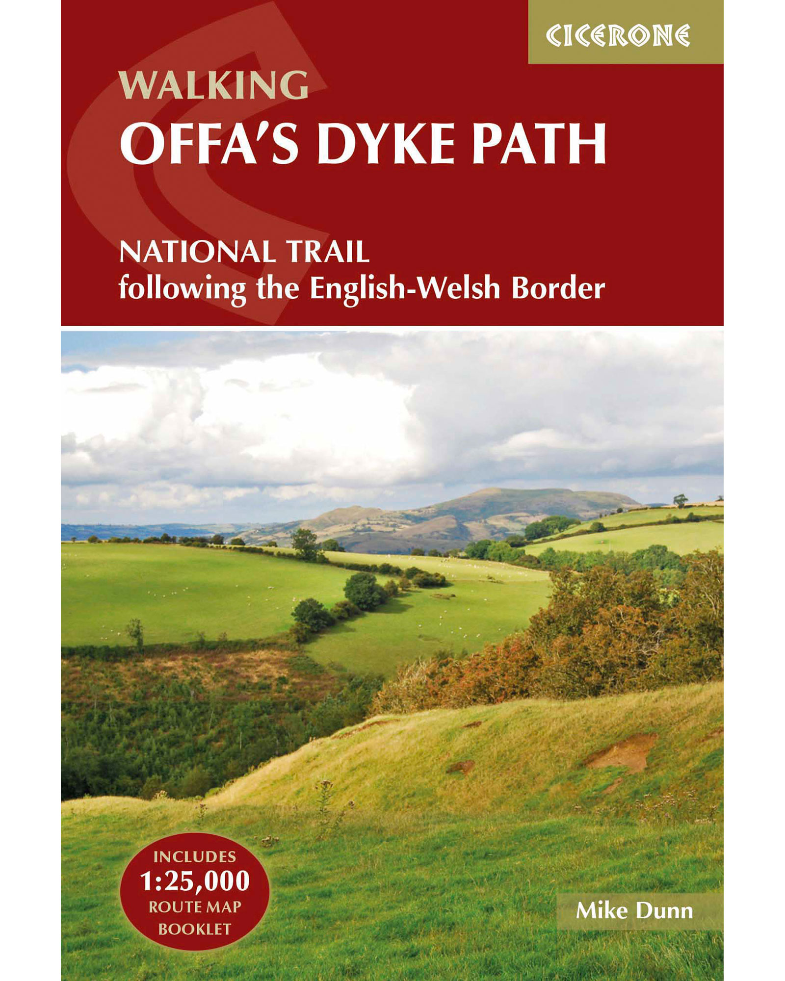
Cicerone The Offas Dyke Path Guide Book
Cicerone
Review this product
|
£16.99
|
Visit Store |
|
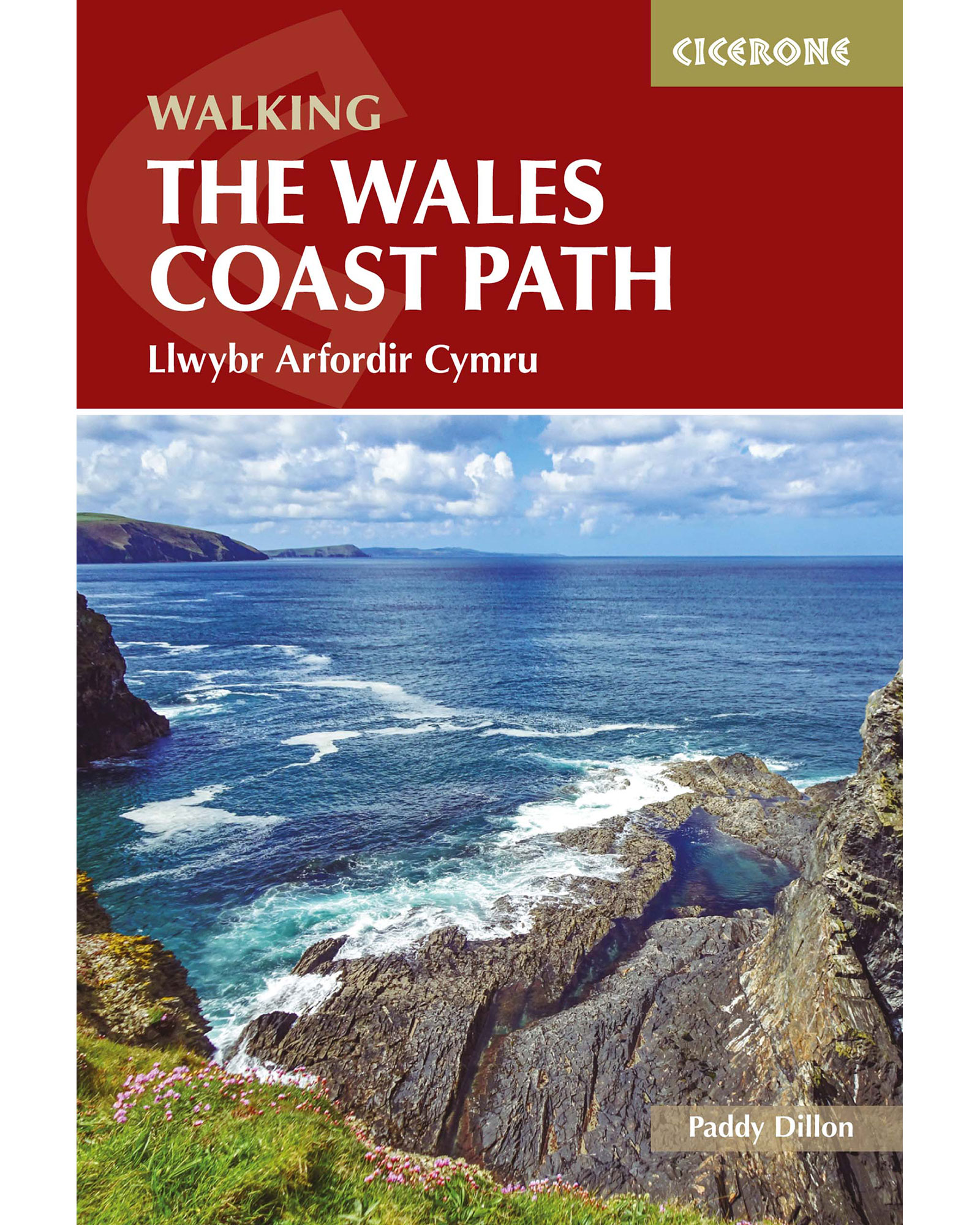
Cicerone The Wales Coast Path Guide Book
Cicerone
Review this product
|
£16.99
|
Visit Store |
|
Ordnance Survey Landranger 126 ShrewsburyandOswestry Map With Digital Version Pink
Ordnance Survey
Review this product
|
£6.00
|
Visit Store |

|
Ordnance Survey Explorer Active Ol 14 Wye ValleyandForest Of Dean Map Orange
Ordnance Survey
Review this product
|
£9.60
|
Visit Store |
|
Ordnance Survey Explorer Active Ol 14 Wye ValleyandForest Of Dean Map - Orange/d Orange/d
Ordnance Survey
Review this product
|
£9.60
|
Visit Store |

|
Ordnance Survey Explorer Ol 13 Brecon Beacons National Park - Eastern Area Map - D/d D/d
Ordnance Survey
Review this product
|
£6.00
|
Visit Store |

|
Ordnance Survey Explorer Ol 13 Brecon Beacons National Park - Eastern Area Map
Ordnance Survey
Review this product
|
£6.00
|
Visit Store |

|
Ordnance Survey Explorer 264 Vale Of Clwyd Rhyl DenbighandRuthin Map With Digital Version - D/d D/d
Ordnance Survey
Review this product
|
£6.00
|
Visit Store |
|
Ordnance Survey Explorer 264 Vale Of Clwyd Rhyl DenbighandRuthin Map With Digital Version
Ordnance Survey
Review this product
|
£6.00
|
Visit Store |

|
Ordnance Survey Explorer 265 Clwydian Range Prestatyn MoldandRuthin Map With Digital Version Orange
Ordnance Survey
Review this product
|
£6.00
|
Visit Store |
|
Ordnance Survey Explorer 265 Clwydian Range Prestatyn MoldandRuthin Map With Digital Version - Orange/d Orange/d
Ordnance Survey
Review this product
|
£6.00
|
Visit Store |

|
Ordnance Survey Explorer 256 WrexhamandLlangollen Map With Digital Version Orange
Ordnance Survey
Review this product
|
£6.00
|
Visit Store |
|
Ordnance Survey Explorer 216 WelshpoolandMontegomery Map With Digital Version Orange
Ordnance Survey
Review this product
|
£6.00
|
Visit Store |
|
Ordnance Survey Explorer 256 WrexhamandLlangollen Map With Digital Version - Orange/d Orange/d
Ordnance Survey
Review this product
|
£6.00
|
Visit Store |
|
Ordnance Survey Explorer 216 WelshpoolandMontegomery Map With Digital Version - Orange/d Orange/d
Ordnance Survey
Review this product
|
£6.00
|
Visit Store |
|
Ordnance Survey Os Explorer 240 Oswestry Map With Digital Version Orange
Ordnance Survey
Review this product
|
£6.00
|
Visit Store |
|
Ordnance Survey Os Explorer 240 Oswestry Map With Digital Version - Orange/d Orange/d
Ordnance Survey
Review this product
|
£6.00
|
Visit Store |
|
Ordnance Survey Explorer 255 LlangollenandBerwyn Map With Digital Version Orange
Ordnance Survey
Review this product
|
£6.00
|
Visit Store |
|
Ordnance Survey Os Landranger 137 LudlowandChurch Stretton Wenlock Edge Map Pink
Ordnance Survey
Review this product
|
£6.00
|
Visit Store |
|
Ordnance Survey Explorer 255 LlangollenandBerwyn Map With Digital Version - Orange/d Orange/d
Ordnance Survey
Review this product
|
£6.00
|
Visit Store |


* Must be complete